

Best Hikes with Views in Crested Butte, Colorado


Best Hikes with Views
Baxter Gulch Trail
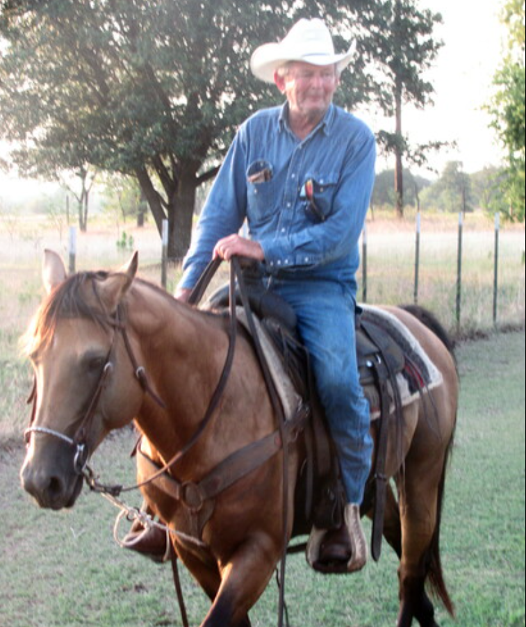
This trail used by hikers, mountain bikers and trail runners rises 2,089 feet midway before falling back to roughly the elevation at the trailhead. Travel is recommended between May through October. The trail closes for winter due to the threat of avalanches. Note that while it traverses privately owned property, easements allow for pedestrian access. Reports vary about the trail’s usage; one claims it to be “lightly trafficked” while another says it’s “one of the area’s most popular… experiences.” As on other nearby trails, expanses of wildflowers in early summer emblazon the terrain.
- Location: 2.1 miles southeast of Crested Butte
- Distance: 10.4 miles
- Difficulty: moderate
- Trail Type: out-and-back
- Dogs: on a leash
East River Trail
Featuring a waterfall and an elevation gain of 374 feet, this outing is suggested as a “starter” hike for flatlanders as they adjust to the area’s higher altitudes. The best time to experience the East River Trail is usually during July when its flowers are at the peak of bloom. Crested Butte is known as the “Wildflower Capital of Colorado”, the pageantry of the trail testifies to the slogan’s veracity.
- Location: 5 miles south and east of Crested Butte
- Distance: 4.8 miles
- Difficulty: easy
- Trail Type: out-and-back
- Dogs: on a leash
Crested Butte Upper & Lower Loop
Optimally trekked between April through October, this moderately traveled loop trail provides scenic mountain vistas and bountiful bird watching. The terrain’s elevation gain of 337 feet starts in earnest about midway along the hike. As with many of the area’s other trails, hikers are likely to encounter mountain bikers while on traversing this path. Where the lower loop transitions to the upper loop (about midway through the hike), hikers can opt to extend their journey for 0.6 miles by taking the GB Loop. This extension joins Gunsight Pass Rd. before the road dead-ends into the upper loop, which leads back to the trailhead.
- Location: Just outside the northwestern side of Crested Butte
- Distance: 6.4 miles
- Difficulty: Lower Loop—easy; Upper Loop—moderate
- Trail Type: loop
- Dogs: on a leash