


Get to know your Hopkins County soils by Mario Villarino

[adning id=”33097″]
One recent educational need identified during our 2020 Leadership advisory board meeting was to provide basic education pertinent to Hopkins County to new landowners.
With the purpose of providing basic education related to Hopkins County, the 2021 new landowner program was created as a series of 6 mass disseminated articles. I am presenting here the first of the series Hopkins County Soils: Hopkins County is located in Northeast Texas with almost 800 square miles of space.
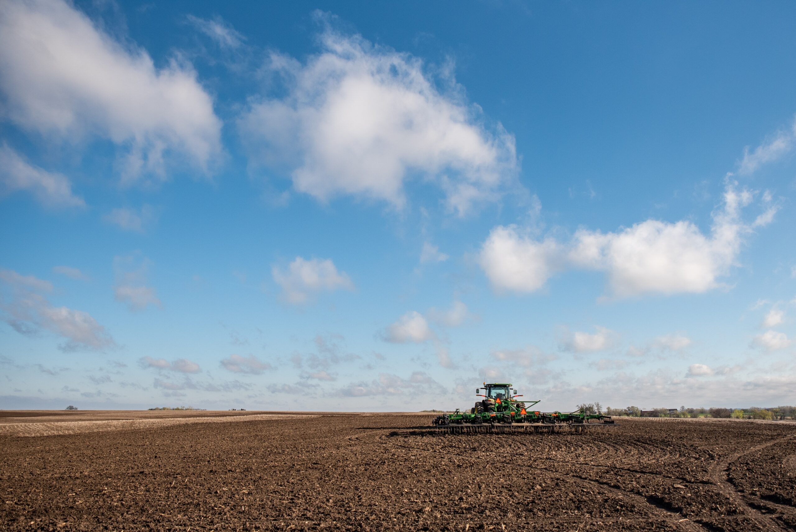
Traditionally a dairy county, Hopkins maintains a significant amount of dairy cattle (most in the region) and beef cattle. A strong grass producer, the county is mainly composed of Houston Black-Heiden-Wilson (north portion of the county) and Woodtell-Crocket soils (south part of the county).
The Houston Black soil is found only in Texas, The first thing you’ll notice about this soil is its dark color and how sticky and moldable it is when wet. Because of these qualities, it’s often called “black gumbo.” Prairie vegetation contributed to the organic matter and dark color in the surface of these soils.
The climate contributed its extreme wetting and drying cycles to the soils shrink-swell nature. Houston Black soils occur on level to moderately sloping landscapes (0-8% slopes). This soil series is usually more than 200 cm (80 inches) deep. Water will drain through the profile moderately well; however, permeability of water is very slow due to the high clay content (46-60%) in this soil. Every soil can be separated into three separate size fractions called sand, silt, and clay, which make up the soil texture. They are present in all soils in different proportions and say a lot about the character of the soil.
In Houston Black soils, the texture for this series is most commonly clay or silty clay. The topsoil (A horizon) will crack when dry. Cracks can be more than 10 cm (4 inches) wide and 30 cm (12 inches) deep, and remain open for 90 to 150 days in most years. In the top 20 cm (8 inches), these soils typically have a few small shell fragments.
Houston Black is known around the world as a classic example of a Vertisol, a soil order which is a soil high in a particular type of clay called smectite. These clays swell during wetting cycles and shrink during drying cycles and cause the soil to crack when dry. In addition to the cracks, the repeated physical movement of the soil commonly results in formation of surface mounds and depressions that are called gilgai. Gilgai is an Australian aborigine term meaning “little water hole”. A common feature of this soil order is the presence of slicken-sides in the subsoil below depths of 30-60 cm (12-24 inches).
The smectite clays are known for their ability to hold on to nutrients tightly enough to prevent them from being lost through water movement, but weakly enough that plants can use them. These nutrients include calcium, magnesium, and potassium. The soils are generally gray to black due to organic matter left from decomposition of the prairie grasses. Because the soil formed from calcareous materials, the soil is slightly alkaline and will fizz when it contacts acid.
Before settlers arrived, the region was a tallgrass prairie. Less than 1% of the native prairie exists today. So, this soil reflects the special climate and vegetation conditions of our past. Native vegetation in the Blackland Prairie consists of tall and mid-sized grasses such as little bluestem, big bluestem, indiangrass, switchgrass, and sideoats grama. Now, the land is devoted to producing crops and animals, and to urban, recreational, and industrial uses. Houston Black soil is well known for its management problems.
Erosion and water problems are the primary concerns. Houston Black soil is very clayey, especially in the lower horizons, below 30 to 60 cm (12 to 24 inches). The great amount of clay hinders the movement of water and air. This affects growth of plant roots. Dry soils are cracked, but when it rains, they close and water enters slowly.
If rainfall is intense, water may run off before it can infiltrate into the soil. Available water for plants is very high when the soil is wet and erosion hazards are generally moderate. Often terraces, contour tillage, and grassed water-ways are used to keep water from running off the land before it has time to infiltrate.
Construction on this soil is often plagued by cracking from the shrinking and swelling movements. Hydrated lime often is added to stabilize the clays, and also layers of crushed rock and gravel are added to stabilize roads and large buildings. Foundations of buildings also need to be reinforced with steel rods.
The Woodtell series consists of soils that are deep to stratified loamy and clayey residuum derived from sandstone and shale. They are well drained and very slowly permeable. These soils are gently sloping to moderately steep which occur on interfluves and side slopes of ridges on inland dissected coastal plains.
The slope ranges from 1 to 20 percent. Mean annual precipitation is about 1244 mm (49 in) and the mean annual air temperature is about 17.2 degrees C (63 degrees F). These soils are used mainly for pasture. Native vegetation is mainly postoak, blackjack oak, elm and red oak in a fairly dense savannah.
In open areas tall and mid grasses such as bluestems, tridens and panicums are common with longleaf uniola under the tree canopy. American beautyberry and hawthorn species are also a part of the understory. The main pasture plants are bermudagrass and bahiagrass with crimson and arrowleaf clovers. There are scattered shortleaf and loblolly pine with small plantations and some dense pine areas on the eastern side of the series province. Some areas are planted to small grain for winter grazing.
By Mario Villarino

[adning id=”33207″]